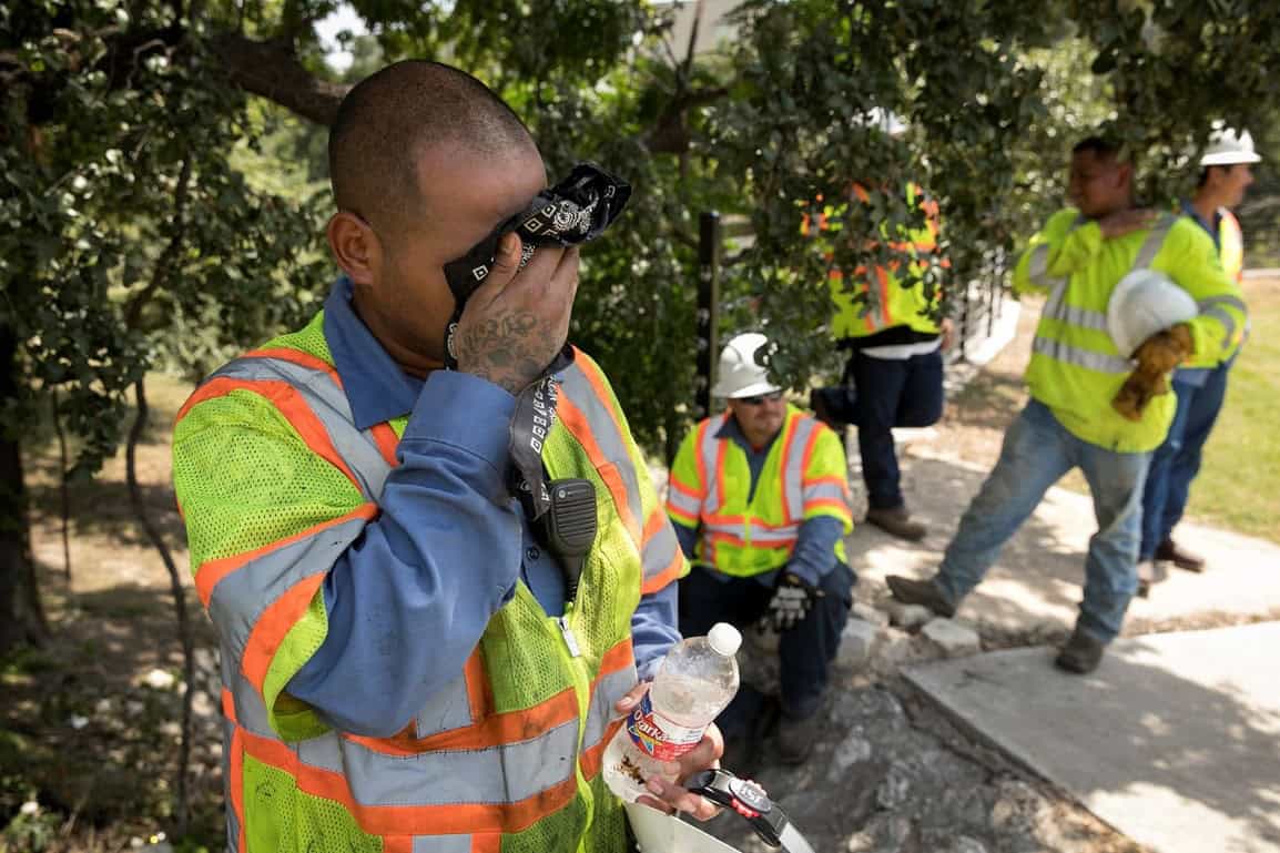
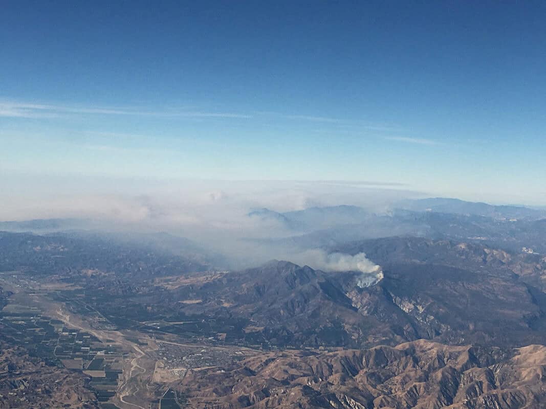
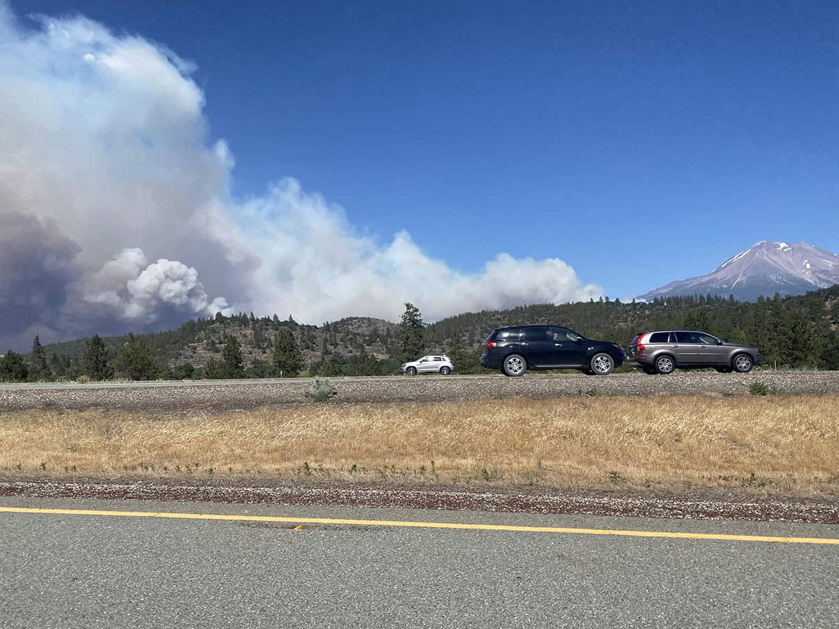
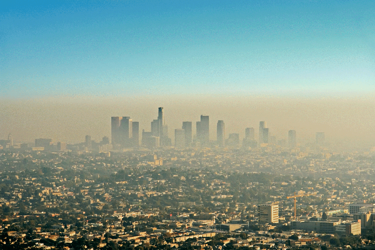
Climate-related hazards present a growing health threat for populations around the world. In the State of California, wildfire-contributed air pollution (“smoke pollution”) and extreme heat contribute to numerous adverse health outcomes. Certain communities are more vulnerable due to underlying health or socioeconomic characteristics, co-exposures, and/or lack of adaptive capacity. In this study, we will integrate Earth science information of smoke pollution and extreme heat with socioeconomic data to assess climate vulnerability. We will produce a publicly available tool for California for sustained use with environmental justice and climate decision-making activities in local communities and at the State level.
